Salkantay Trek Walkthrough: Day 3 (La Playa – Santa Teresa)
Collpapampa (2,950m) – La Playa (2,250m)
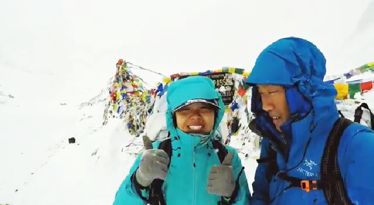
FINALLY we saw the sun!! The skies were so clear that day – it was awesome weather.
After we left Collpapampa, the hike starts gets pretty tricky. We went down a flight of switchbacks and remembered on one of the blogs we were supposed to take a bridge.
However we saw the tour group (who hiked past us as we were packing up) did NOT take the bridge. Instead, they took a steep road to the side of the bridge (which was not obvious / or looked like it was part of the trail.)
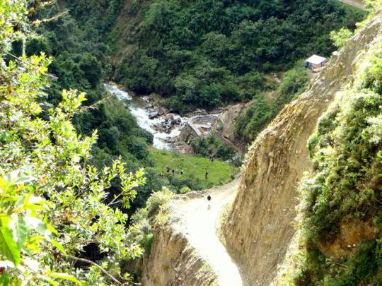
Alright – hope that was clear. By the way if you took the red bridge, it was still the correct route – except you will be hiking on roads (where cars / trucks travel) on dusty ground, separate from the route we took by a river. I presume both leads to La Playa (we constantly looked across the river and saw that the road followed our route at the other side of the river).
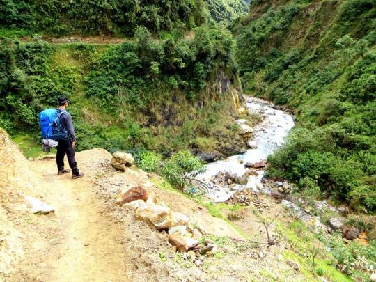
On our way to La Playa, which we know is about 3-4 hours away, we walked past another campsite, Winaypoco!
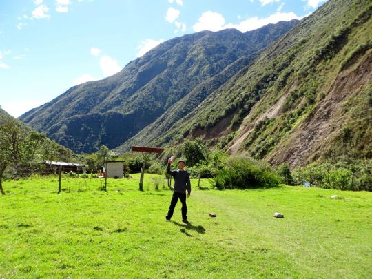
Winaypoco is a GREAT campsite with awesome views. Actually it might be because the weather was SO AWESOME. We were getting by without a jacket at this point. I even threw on my cap for the first time during this hike!
Although beware, this is where the bugs start coming, so be certain you are covered, including the area between your socks and the cuffs of your pants.
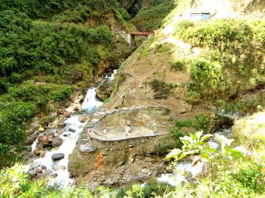
By the way, the prices of snacks/water increase the closer you get to Aguas Calientes. Haha.
This was when the weather goes into the 60s, and you will need to hydrate more often. We started running into tour groups now and this wasn’t the case the first two days! At this point there were rest stops every 30mins to an hour. It definitely felt like trails were more well-marked, which was nice, but the downside was that it starts to feel crowded / touristy quite quickly.
La Playa – (2,250m) There were minivans parked at the side waiting to pick up the tour groups and bring them to Santa Teresa. The road past La Playa is long, hot and not very pleasant. Minivans drove along these roads and had kicked up dust into our faces and it became a bit annoying to keep avoiding vehicles driving by. There was a lack of “nature” surroundings. As there were roads now, this actually felt like a deserted town with broken trucks and cars.
The road soon splits between Santa Teresa and Llucmabamba. At Llucmabamba, we met the friendly tour guide again, who told us the hike to Santa Teresa wasn’t all that pleasant to walk, given the narrow roads with high traffic. A driver offered us a ride for 50 Soles with other hikers. Mark’s knees were hurting from the downhill, so we gave in.
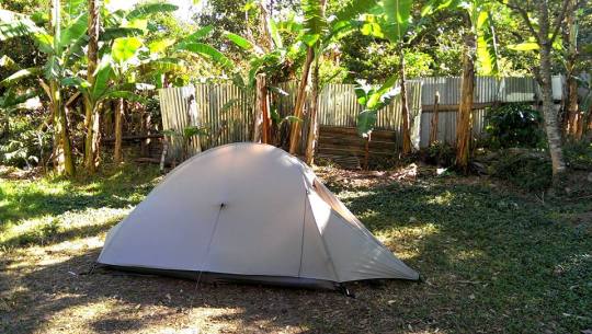
It was a 20-min drive to Santa Teresa, where we stopped at a campsite owned by a jolly old man with a funny tshirt that said “God is coming, Look busy”. We camped at a corner and left most of the spots for the tour groups. Soon, the place was occupied by three other tour groups.
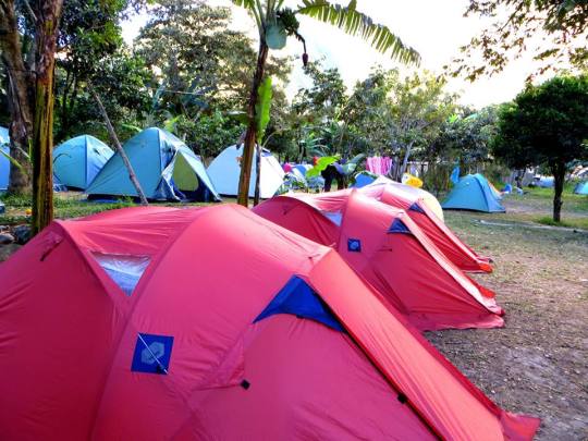
The tour groups were extremely noisy at night. (I guess they saved all their energy to party, with the mules carrying all their shit.) They basically partied all night till midnight while we struggled to sleep. The other couple told us the next day that they basically felt the same way.
Home stretch to Aguas Calientes!

One Comment
Pingback: